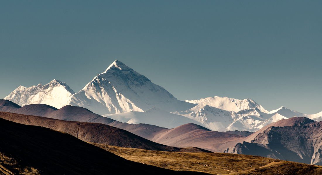
Geological riddle solved: Roof of the World has gotten higher
There has long been controversy about whether the world's highest region, Tibet, has grown taller during the recent geological past. New results from the University of Copenhagen indicate that the 'Roof of the World' appears to have risen by up to 600 meters and the answer was found in underwater lava. The knowledge sheds new light on Earth's evolution.

Tibet is referred to as the Roof of the World for good reason. With an average altitude of 4,500 meters above sea level and the world's two highest peaks, Mount Everest and K2, the vast Himalayan mountain range towers higher than anywhere else on Earth.
But the Tibetan plateau's height has been the subject of academic controversy for many years. Some researchers believe that the area has been as high as it is today for most of its existence, while others believe that the area has increased in height over the past 20 - 30 million years. It is a riddle that until recently has stood and flickered unanswered in the wind.
With the help of new analyses of the Indian Ocean seabed and calculations of the movement of Earth's tectonic plates, a researcher from the Department of Geosciences and Natural Resource Management at the University of Copenhagen has contributed new answers to the disagreement.
"By looking at older data of Tibet's emergence and combining it with new geological data from the Indian Ocean, we are pretty certain that there was a major geological change in Tibet about 15-18 million years ago, one that caused the wide area to rise between 300 and 600 meters," explains Associate Professor Giampiero Iaffaldano, the study's main author.
A slow, head on collision between the India subcontinent and Eurasia
The change is due to a head on collision between what are today India and China. India was originally located much further south, but the tectonic plate upon which India lies gradually moved northwards over millions of years and closer to China, until they finally collided to form Tibet.
Using plant fossils and geochemical analyses of rocks found in the mountainous region, some scientific researchers have been quite sure that Tibet looked the way it does today as far back as 20-30 million years ago and that its altitude has not changed over time.
Other researchers have believed that the prolonged and decelerating collision between India and China was caused by Tibet shooting upwards as much as two kilometers over a few million years. But according to Associate Professor Giampiero Iaffaldano, the answer is found somewhere in between.
"What the study contributes to, is actually a combination of the two previous hypotheses, different data sets and conclusions. What I've done is take a closer look at the speed of the India-China collision using Indian Ocean geological data that has only recently become available to the public," he says.
Finding an answer at the bottom of the Indian Ocean
Continuously through time, hot stones and other material are spat from Earth's interior onto the ocean floor. They have much to reveal about the movements of Earth's tectonic plates. Encoded within these lavas are records of Earth's magnetic polarity - the direction of Earth's north and south poles.
Polarity has reversed several times in Earth's history, meaning that North has become South and vice-versa. And, scientific researchers know roughly when these flips occurred. As such, they can trace tectonic plates to specific places and times during Earth's history using their magnetization along a so-called geomagnetic timescale.
"A closer look at this type of data held the answer to the question of whether Tibet has gotten higher or not. It has proven tremendously useful to calculate the speed of India's collision with China from geomagnetic data. More and more of such data, often originally collected for purposes other than fundamental scientific research and thereby not publicly available, is now being released and used by scientists," explains Giampiero Iaffaldano and adds:
"This new knowledge about Tibet is important for better understanding of Earth's evolution and the metods used could turn out useful in future studies."
Access the complete scientific article here
Facts:
- The Tibetan plateau stretches over 1,000 kilometers from North to South and 2,500 kilometers from East to West.
- Tibet has been extensively studied by geologists because it reveals important details about Earth's geological development and the movement of continents.
- There are seven large continents on Earth, each of which is in constant flux and give rise to earthquakes, etc.
Related News
Contact
Giampiero Iaffaldano
Associate Professor
Department of Geosciences and Natural Resource Management
University of Copenhagen
Phone : +45 35 33 46 40
Mail: giia@ign.ku.dk
Michael Skov Jensen
Journalist
The Faculty of Science
University of Copenhagen
Mobile: +45 93 56 58 97
Mail: msj@science.ku.dk

